

Shanghai Subway Sign
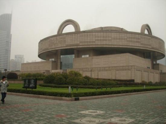
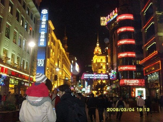
Subway is a speedy, safe, comfortable and convenient means of transportation for traveling around the city. The main attractions, transportation hubs and commercial areas such as the Bund, Nanjing Road, Huaihai Road, People's Square, Shanghai Railway Station and Xujiahui can be reached by several subway lines.
At present, the city has 14 subway lines in operation, totaling 340.5 miles (548 km), excluding the Maglev Line and the sections shared by Line 3 and Line 4. The right is a subway map (English-Chinese version) for your reference, including the present 14 lines and several sections under construction or still being programmed. Please click the map to enlarge it. Also you can see the English Version and the Chinese Version, or go for more Subway Maps.
How to Take Subway
Subway Transfer
Subway Ticket
Bilingual List of Subway Stations
Lines in Operation: Line 2: East Xujing ↔ Guanglan Rd. ↔ Pudong Airport
Identification Color: light green
Total Length: about 37 miles (60 kilometers)
Station Number: 30
Stations: East Xujing ↔ Hongqiao Railway Station ↔ Hongqiao Airport T2 ↔ Songhong Rd. ↔ Beixinjing ↔ Weining Rd. ↔ Loushanguan Rd. ↔ Zhongshan Park ↔ Jiangsu Rd. ↔ Jing'an Temple ↔ West Nanjing Rd. ↔ People's Square
Please Share This Page: