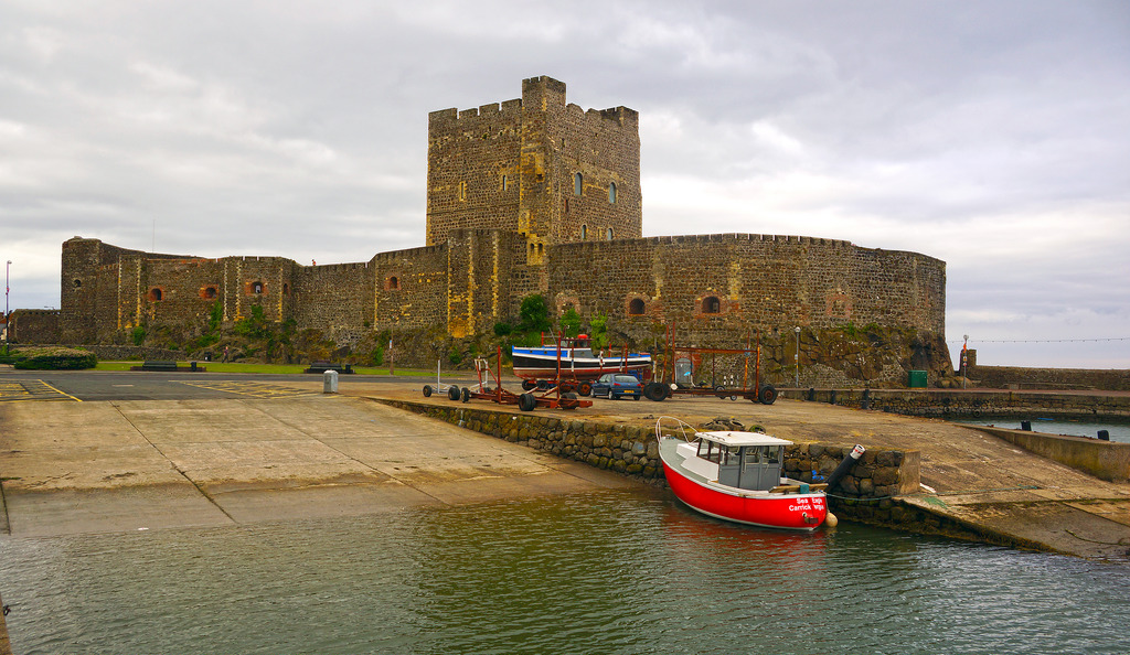
As an urban settlement, Carrickfergus far pre-dates the capital city Belfast and was for a lengthy period both larger and more prominent than the nearby city. Belfast Lough itself was known as 'Carrickfergus Bay' well into the 17th century. Carrickfergus and the surrounding area was, for a time, treated as a separate county. The historical walled town originally occupied an area of around 97,000 square metres, which now comprises the town centre, bordered by Albert Road to the west, the Marine Highway to the south, Shaftesbury Park to the north and Joymount Presbyterian Church grounds to the east. Segments of the town wall are still visible in various parts of the town and in various states of preservation. Archaeological excavations close to the walls' foundations have yielded many artefacts that have helped historians piece together a picture of the lives of the 12th and 13th century inhabitants.[4][8]